Australian developers
How do you turn Gold Coast site information into a render brief?
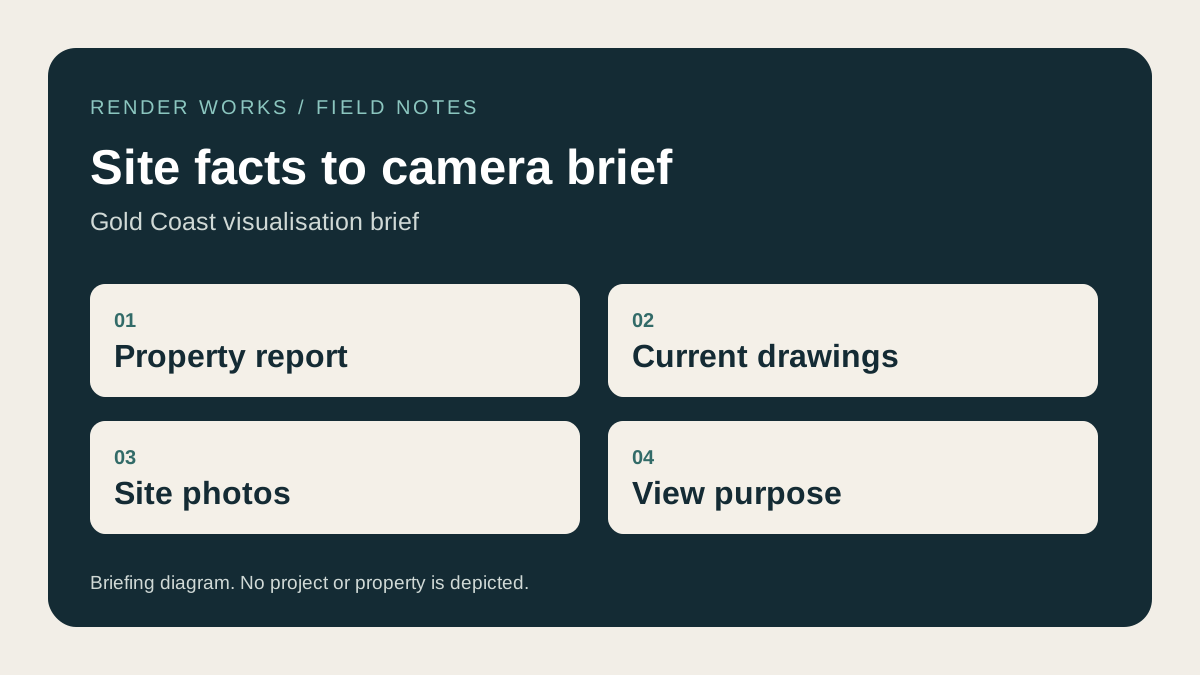
Collect the current design first, then add the site facts that affect what a camera can truthfully show. A Gold Coast City Plan property report can identify the property's zone and overlays, but a render brief also needs the survey, drawings, levels, access arrangement and photographs. Put the source and revision date beside each item before choosing views.
Where do the local site facts come from?
The City of Gold Coast provides property enquiry through its City Plan mapping tool. The same page links to Development.i for application and property information. Its mapping search page lists additional searches, including flood and waterway information. Ask the project planner or architect which records are relevant to the particular site. Use a map layer to flag a design question for them to resolve before the image is produced.
What belongs in the first handover?
| File or decision | Use in a visualisation brief |
|---|---|
| Current site plan and survey | Boundary, orientation, levels, access and neighbouring context |
| Plans, elevations and sections | Building geometry, openings and room relationships |
| Landscape and material selections | Planting, paving, facade and interior appearance |
| Site photographs | Existing street, trees, neighbouring buildings and camera opportunities |
| Intended use of each image | Whether the view is for sales, a design discussion or a separately defined planning task |
| Revision register | Which drawing version controls the render and who approves changes |
Mark anything still in design. An unselected cladding colour or proposed tenant sign should not quietly become a final-looking feature in the first draft. A short note beside the image is more useful than a long email thread after the render has been polished.
How do you choose the first cameras?
Write the question each image must answer. For a street view, that might be how the building meets the footpath and where people enter. For an interior, it might be how the living room connects to outdoor space. A site-context image may need a higher camera, but only if the team has the survey and suitable source photography to support it.
The Gold Coast commercial render page shows how two Bundall views answer different questions about one building. The Gold Coast developer guide covers the wider shot list. If a view is intended for an application, use the separate planning imagery guide and obtain the planner's requirements.
Frequently asked questions
Is the City Plan property report enough for a render quote?
It helps describe the site, but it does not show the design, selected finishes or intended campaign images. Include current drawings and a proposed view list.
Should we commission drone photography before choosing a camera?
Agree the required perspective first. The drone photography brief explains how to plan source photographs for a photomontage.
What if the drawings change during production?
Send the new revision and identify which views it affects. Keep the superseded drawing out of the active brief so comments refer to one version. Send your site files when the team is ready to scope the work.

Turn site information into a brief
Send the current design, site report and photos so we can define views and output scope.
Discuss your project