Australian developers
How do you brief a Gold Coast canal or waterfront render?
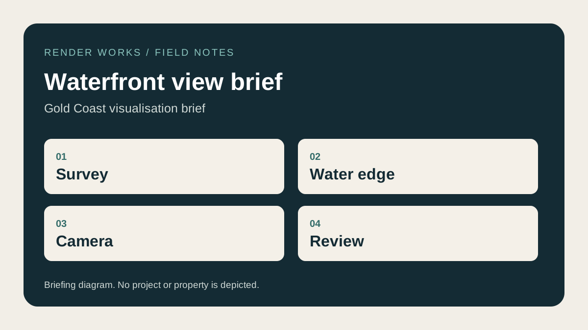
Show the water edge as it is designed, with the correct levels, structures and boundaries. A waterfront image needs more than a blue horizon: the viewer should understand how the building, outdoor space and water relate. Begin with a current survey, approved or proposed water-edge details and a camera that can be checked against the site.
Which documents matter before the camera is chosen?
The City of Gold Coast's mapping search page points to canal and waterway setback information and other property searches. The project's architect or planner should confirm which controls and approved drawings apply. The render team then works from the documented design and survey to model the edge.
| Source | What it tells the image team |
|---|---|
| Survey and levels | Position of the lot, water edge and ground relative to the building |
| Site and landscape plans | Terrace, path, planting and boundary treatment |
| Water-edge details | Retaining structure, seawall, pontoon or other element if actually part of the design |
| Current photographs | Existing bank, neighbouring properties and camera access |
| Approved finish schedule | Materials at the building and outdoor interface |
Do not treat an optional pontoon, wider waterway or unobstructed outlook as an automatic part of the scene. Mark proposed features as proposed in the brief and check how the campaign will describe them.
What should the first two views answer?
A view from the principal living space can explain the route to the terrace and the framed outlook. A second view from the outdoor area can show the building, water edge and boundary together. If access, parking or the wider setting is the key question, a site view may be more useful than another sunset image. The Gold Coast outdoor-living guide explains how to check doors, shade and planting in these views.
Agree the tide or water appearance only to the extent the source material supports it. Keep the waterline and edge geometry consistent between stills. If a real photograph is used as a background, record the camera position and date, and check the building scale against the survey. The Australian drone photography brief covers the source-image handover.
How should the draft be reviewed?
Have the architect check the building and water-edge geometry, the landscape designer check planting and hardscape, and the project marketer check what the image leads buyers to expect. Save a single marked-up review version. The wider Gold Coast service page explains how to start an enquiry, while the site-information guide lists the files to gather first.
Frequently asked questions
Can a waterfront render establish the site's setback requirements?
No. The design team establishes those requirements from the applicable records and approvals. The render should show the documented design accurately.
Do we need a drone photograph for every waterfront image?
No. A ground-level render may explain the home and water edge better. Use source photography when the chosen view requires real surrounding context.
What should we send to request a quote?
Send the survey, plans, elevations, water-edge details, landscape plan, site photographs and proposed uses for each image. Start a Gold Coast project brief with those files.

Brief a waterfront view
Send the survey, water-edge details, landscape plan and current site photographs so the camera can be scoped accurately.
Discuss your project