New Zealand developers
What does a Cromwell drone photomontage brief need?
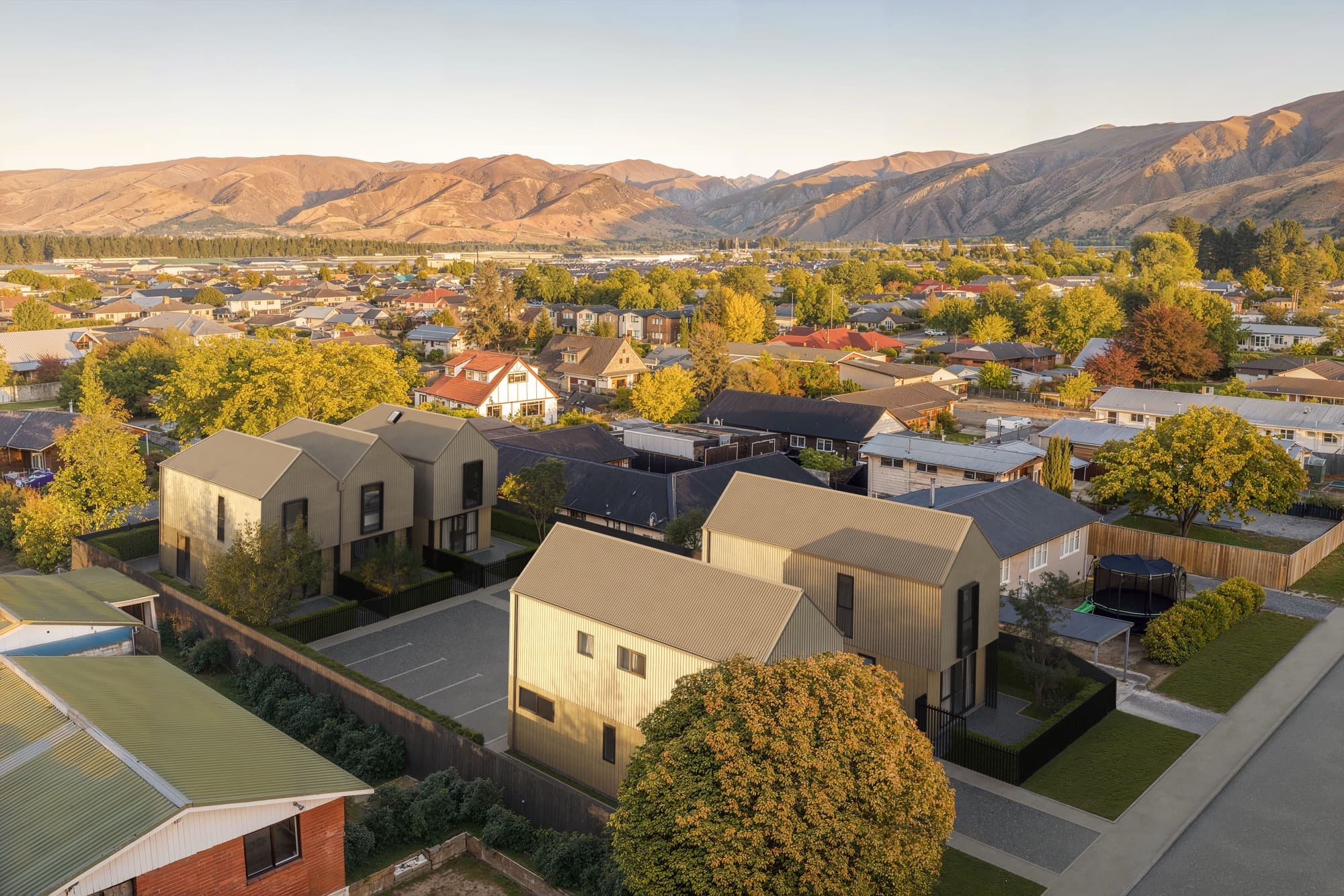
A Cromwell drone photomontage begins with the original photograph, camera record and a surveyed building model. The image team then aligns the proposed buildings to the photographed site. This is how the Molyneux aerial views place finished homes among the real neighbours and hills.
What should be collected on site?
Use the original full-resolution drone files, not screenshots from a brochure. Keep the date, approximate camera position, height, lens or equivalent field of view, and permission to use the images. A survey or reliable site control points help align the rendered model.
| Source | What it controls |
|---|---|
| Original photograph | Real background, light and lens evidence |
| Camera record | Position and field of view to match |
| Survey and levels | Building placement and ground height |
| Current plans and model | Proposed building size and form |
| Landscape plan | Proposed planting and hardscape, separate from existing context |
How do you review the composite?
Check roof heights and corners against known site features before judging colour. Then review shadows, vegetation and the join between rendered and photographed ground. The Molyneux case study shows the result, and the Cromwell service page compares it with other views in the campaign.
The Central Otago District Council Cromwell Masterplan explains the wider town context; it does not supply camera data for a particular property. A project photomontage needs its own source record. The outlook guide covers claims about what a camera can see.
Frequently asked questions
Will a drone screenshot work?
Use the original full-resolution photograph where possible. Screenshots often remove camera data and leave too little detail for accurate alignment.
Can neighbours be removed from the photograph?
If an image is being presented as site context, retain or clearly account for existing neighbouring features. Agree any illustrative edits and labels before export.
What do we send for a quote?
Send the drone originals, survey, plans, model if available and the required views through the project enquiry.

Plan your Cromwell image set
Send the current drawings, site material and intended image uses so we can scope the views.
Discuss your project

